A mobile robot can reach a shelf, door, or charging point only if it knows where it is and what blocks the route. It builds that picture from sensors, checks its position as it moves, and changes its path when the space changes.
Quick read
- LiDAR, cameras, wheel sensors, and inertial sensors give the robot different views of its surroundings.
- Simultaneous localization and mapping lets a robot build a map while estimating its own position.
- People, carts, glass, poor lighting, and wheel slip can still make navigation fail.
The robot starts with sensor data
Distance and motion data give the robot what it needs before it can plan a route. LiDAR sends out laser pulses and measures their return time, creating a set of points around the robot. Cameras add images that can help identify doors, signs, shelves, and people.
Wheel encoders report how far the wheels have turned. An inertial measurement unit records changes in speed and rotation. Each sensor has a weakness, so the navigation system combines their readings rather than trusting one source.
This process is called sensor fusion. If a wheel slips on a smooth floor, the encoder may report movement that did not happen. A LiDAR scan or camera view can help expose that error and correct the robot's position.
Mapping and localization work together
Route planning needs a map, yet the robot also needs its position on that map. Simultaneous localization and mapping, or SLAM, handles both jobs while the robot moves through an unfamiliar area.
The system compares new sensor readings with earlier readings. A wall, rack, or doorway that appears again gives the robot a reference point. Over time, those matches help it build a map and estimate its position within it.
Localization can lose accuracy when the surroundings look alike. Long warehouse aisles may contain repeated shelves, while open halls may lack fixed features.
Wheel slip can also make the robot drift, and a person may block a sensor for several seconds. That is why many deployments use marked floors, reflective targets, fixed reference points, or known map points. These additions give the robot extra references when its normal sensor data lacks detail.
Planning a route around moving objects
After the robot estimates its position, a planner selects a route to the destination. A global planner works with the stored map and chooses a broad path around walls and restricted areas. A local planner handles nearby objects and adjusts movement as new sensor data arrives.
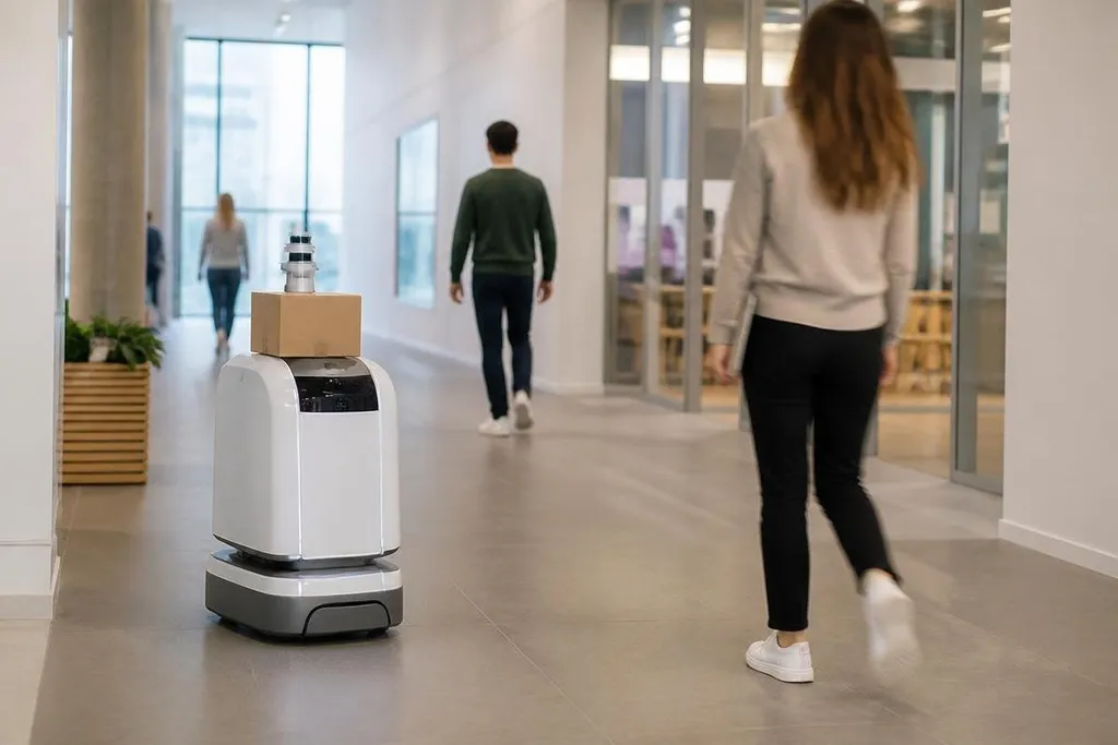
A person crossing the path may cause the robot to slow, stop, or turn. A cart left in an aisle can force a new route. The robot also needs rules for narrow spaces, right-of-way, speed limits, and safe stopping distance.
A route planner can react to a person or cart, but it still needs accurate maps and safe limits. Robot24.com's mobile robotics reports can connect navigation claims with named machines, test sites, dates, and results. The next section looks at the conditions that still make those routes fail.
Where navigation still breaks
Navigation depends on the quality of the map, the floor, the sensors, and the software rules. Glass can confuse some distance sensors. Strong sunlight can affect cameras. Dust may reduce the quality of a laser scan. A changed layout can make an old map less useful.
Network loss creates another problem for robots that send map data or task updates to a remote system. Some robots can continue with local software, while others stop until communication returns. The answer depends on the robot's control design and the site's safety rules.
I'd judge a navigation system by its recovery behavior, not by a smooth demonstration in an empty room. A useful test asks what the robot does after a person blocks its view, a pallet moves, or its planned route disappears.
A practical check before deployment
Use this checklist when reviewing a mobile robot for a real site:
- Map the space: record doors, shelves, ramps, glass panels, restricted zones, and charging points.
- Test sensor limits: check lighting, dust, reflective surfaces, narrow aisles, and moving people.
- Measure recovery: block the route and record how the robot stops, waits, reroutes, or asks for help.
- Check floor conditions: include slopes, thresholds, wet patches, loose material, and wheel slip.
- Set safe rules: define speed limits, stopping distances, shared paths, and manual recovery steps.
- Repeat after changes: update the map when racks, work areas, or traffic patterns move.
The next useful question is specific to the site: after the map changes or a sensor loses its view, can the robot recover without stopping work or putting people at risk?